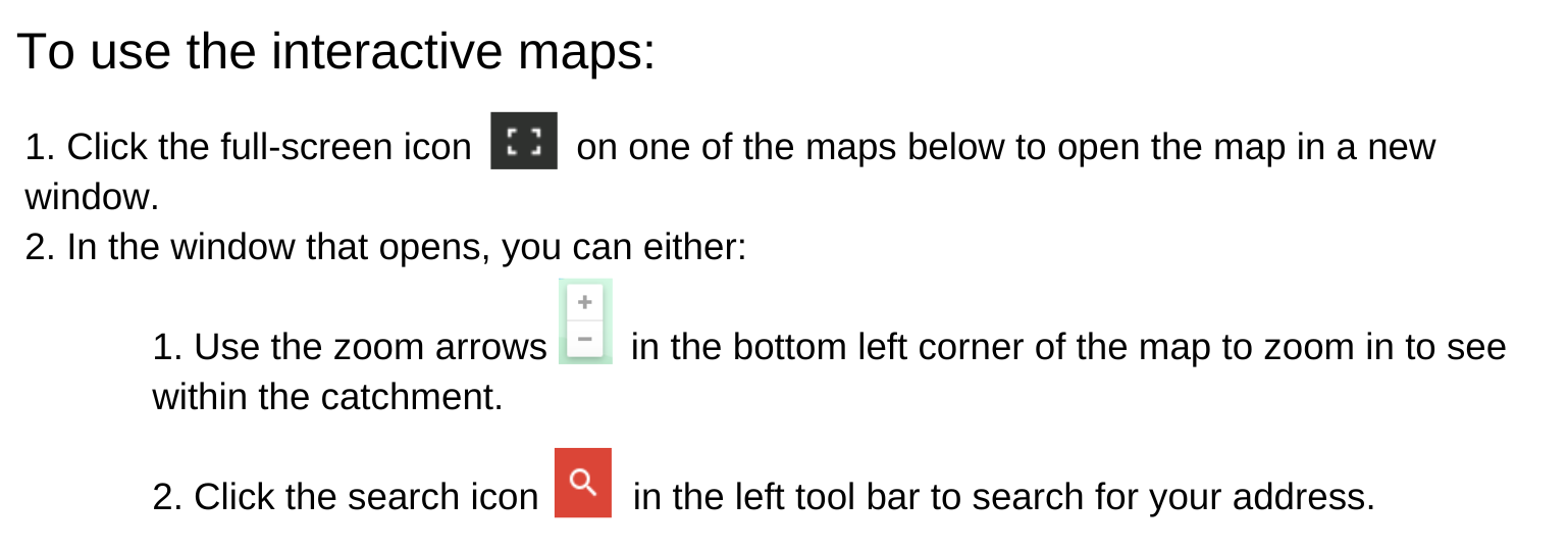
Interactive Zone Maps for Fort McMurray Public Schools
Each school boundary has two zones pictured:
- Catchment: Also known as an enrollment/attendance boundary, this area is pictured as a guideline for students whose residence is within this boundary. Typically, the closest school to the student's residence is the designated school. Transportation Services are available for students whose residence (home address) is within their designated school boundary. Fees must be paid in full before access to Eligible Transportation will be granted. *Please note, for students enrolled in schools outside of their designated attendance boundary, transportation services are the responsibility of the parent/guardian.
- Walk Zone: A User-Pay transportation service is offered to all students if their residence (home address) is between 1.0 and 2.4 km from their designated school provided there is an established yellow school bus route and provided that space is available on the yellow school bus. Students whose residence is within 1.0 km from their designated school but who can walk to a user-pay bus stop may access user-pay services.
Transportation fees and additional information can be found in the FMPSD Joint Transportation Bus Brochure.
Elementary Schools Enrollment Boundaries
*Disclaimer: Interactive maps are an approximate representation of the boundary zones. If you are near a border/boundary, please contact transportation@fmspd.ab.ca for additional clarification.
Secondary School Enrollment Boundaries
*Disclaimer: Interactive maps are an approximate representation of the boundary zones. If you are near a border/boundary, please contact transportation@fmspd.ab.ca for additional clarification.
Questions?
Contact our Transportation Department at 780-799-7900 or email transportation@fmpsd.ab.ca